Showgirl Trail | Tales from the Trails
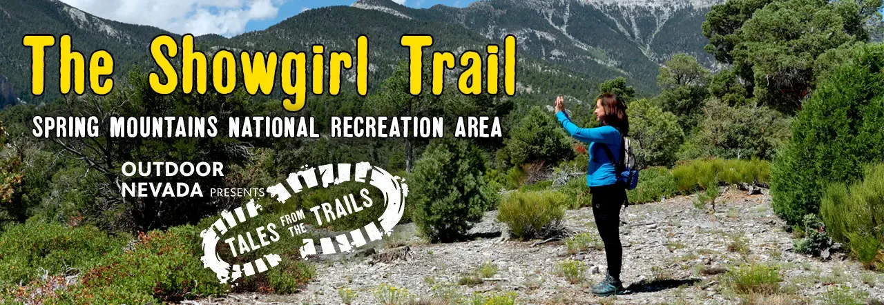
Showgirl Trail| Outdoor Nevada Presents Tales from the Trails
SEASON 1: EPISODE 4 | 10/13/2023
“Sky Island” is a term used to describe an isolated mountain range with drastic elevation changes and diverse life zones, while being surrounded by a lowland environment or a “sea.” In Mt. Charleston’s case, the Mojave Desert.
Ray Johnson with the U.S. Forest Service says Southern Nevada’s sky island - Mt. Charleston and the Spring Mountains - is unique because it features springs and creeks that provide water to wildlife. It also gives visitors a respite from the heat of Las Vegas’ blazing summers. The area is home to more than 30 types of plants and animals and, more importantly, is a sacred area for Nevada’s indigenous people.
The start of the trail is a fuel break. The Forest Service has cleared trees and shrubs so that when a wildfire burns through the area, it won’t be as intense because there is less fuel and it won’t move as fast from tree to tree. This allows firefighters to attack the fire better, Johnson said.
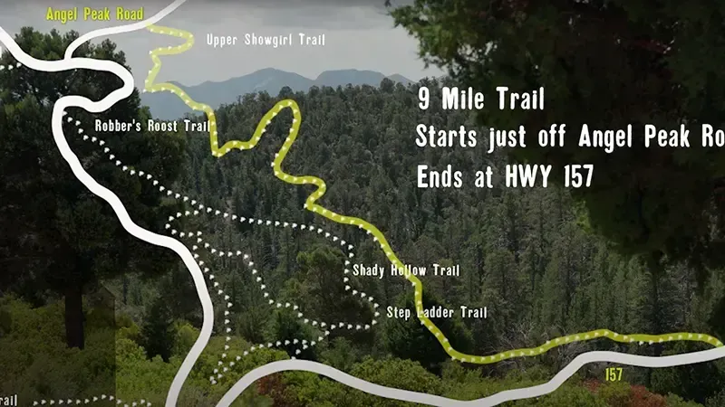
The Showgirl Trail is just off the Juniper Trailhead. To get there, take Deer Creek road, otherwise known as Highway 158, to Lucky Strike Road. The trail starts at Angel Peak Road and ends at Kyle Canyon Road, otherwise known as Highway 157. It is nine miles long. Parking and bathroom facilities are available.

Explore Nevada’s ideal climate and varied environments that provide inspiration for exciting outdoor adventures.